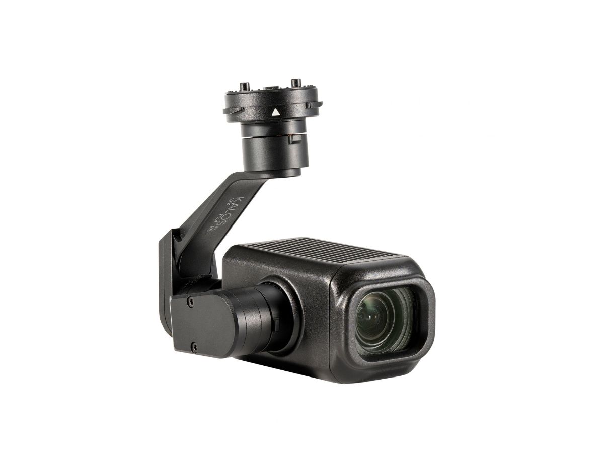
KALOS is the third camera created within the walls of the ATLAS headquarters in the EU. Engineers were baffled by producing a payload with such high resolution.
“KALOS generally provides better-looking imagery during day time. For 3D mapping and general inspection tasks (almost always performed during daylight), KALOS is definitely the payload to use” - said the company’s Chief Technology Officer.
Particularly, KALOS will be the best assistant to have in the construction industry. With this payload, you are able to survey large or tough-to-reach areas with a minimum period of time and cost. While it used to take hours to physically survey an area in a car or use an expensive helicopter, a drone can now complete the task in just a few minutes.
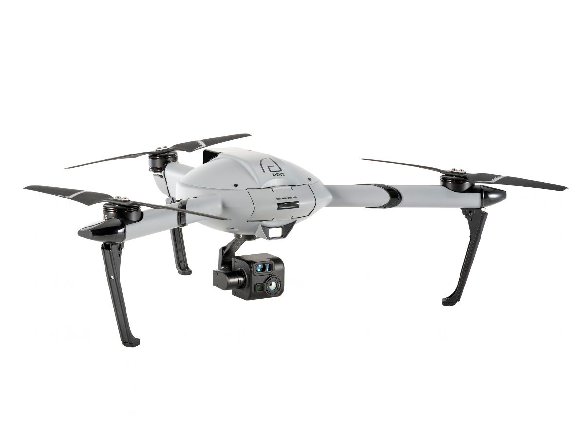
Clients take complete information for land surveying and accurate pre-bid topos. Also, with AtlasPRO equipped with KALOS it is easy to control a building process: calculate volumetric measurements, monitor the consumption of building materials, and visualize the project at each stage in order to understand the amount of work performed.
In addition, KALOS can be used in other industries:
- to measure the volume of mined minerals. In particular, surveyors will be able to know exactly how much material is available to move and how much still needs to be excavated;
- in the process of creating three-dimensional topographic maps. With AtlasPRO, this task can be faster and more efficient, as the drone can to fly over difficult terrain, and the user receives live, accurate topographic data;
- for monitoring rubbish dumps, calculating the exact density and volume of garbage, and other processes that require data measurement and control.
Ivan Tolchinsky, the CEO of ATLAS said:
“KALOS was created according to STANAG4609, which allows for the creation of 3D models in real-time. The video stream format allows you to quickly send it to the headquarters, where it can be superimposed on the map”.
Thanks to high-quality zoom (Optical Zoom: 3X Digital Zoom: 4XHybrid Zoom 12X) the camera captures big areas in a short period of time. As a result, you get pictures and videos in a maximum resolution of 3840(H)x2160(V).
The user can keep track of the metadata during the mission:
• GPS coordinates and direction via an image sensor
• Altitude and angle via an image sensor
• Date and time etc.
The operating temperature range of KALOS is from -20°C to +50°C.
The ATLAS engineers are working on the most popular request from clients now. The market wants to get a double-functions payload: with optical zoom and thermal imaging.
 NewsContact sales☰
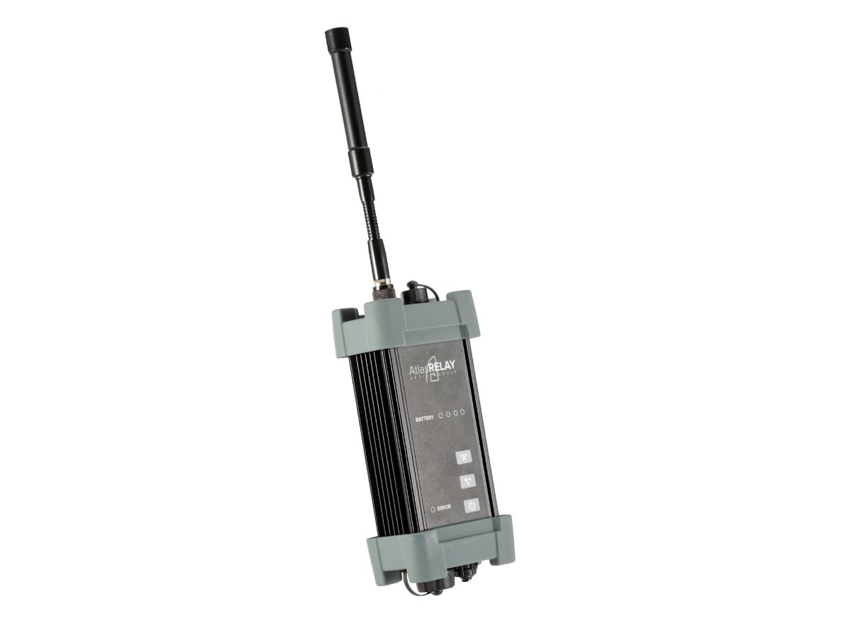 AtlasRELAY
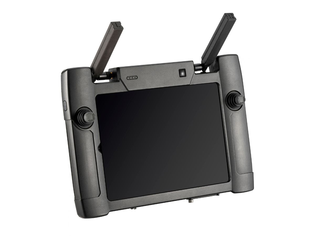 AtlasSTATIONPRO
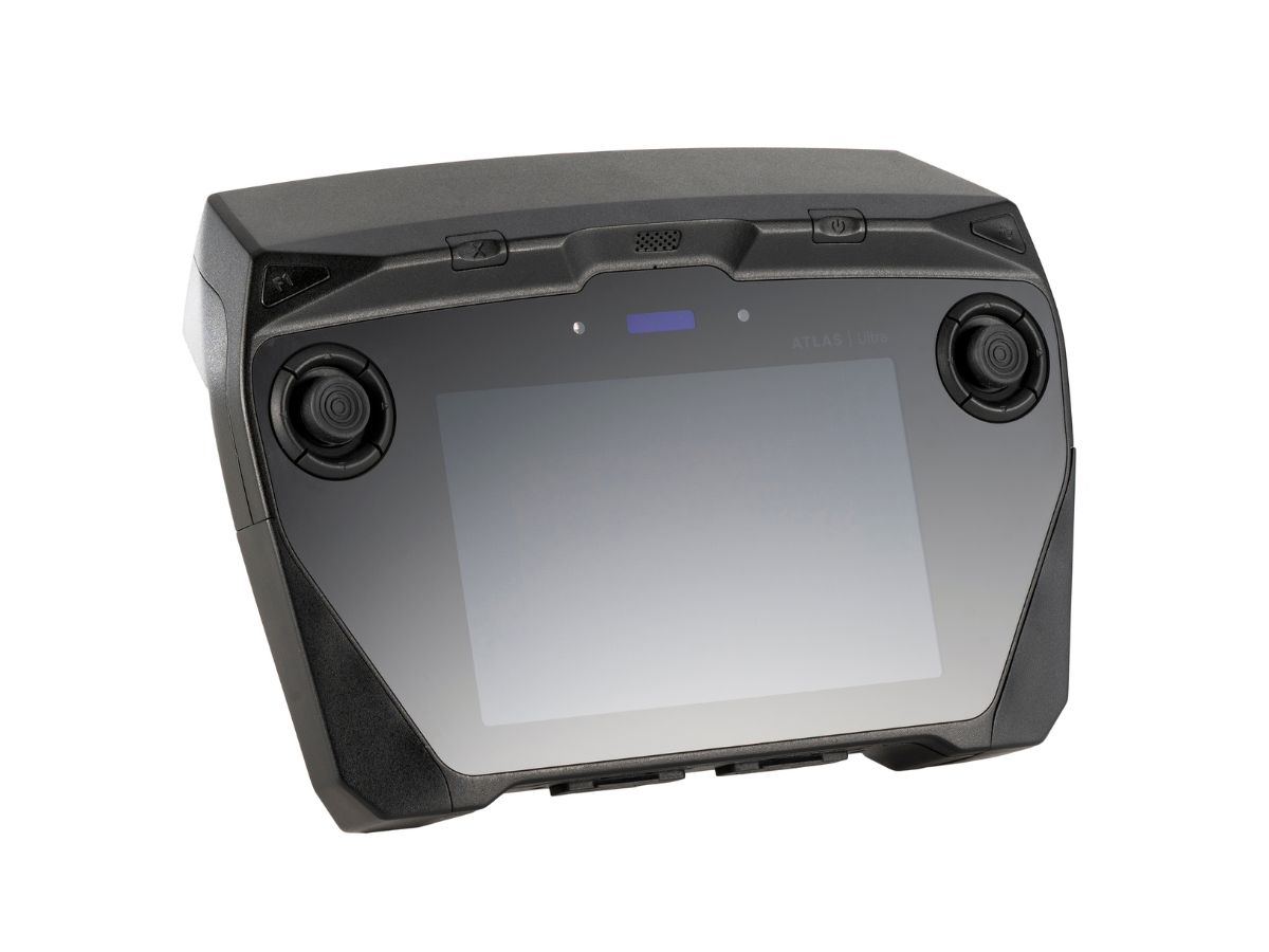 AtlasULTRA
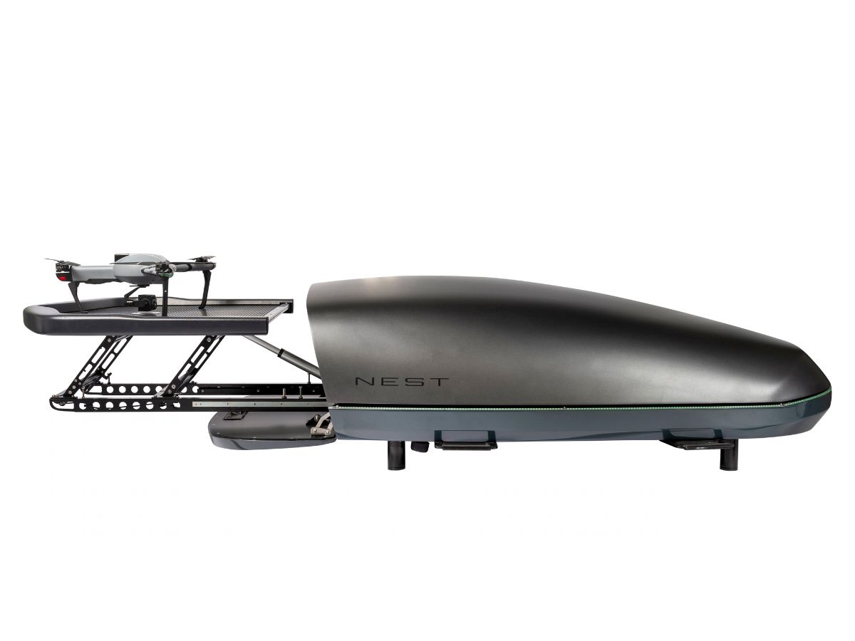 AtlasNEST
 AtlasPRO
 AtlasMICRO
 AtlasTETHER
 AtlasA1
 AtlasROVER
 AtlasSTAG
 AtlasARGUS
 AtlasORTUS
 AtlasVISORFF
 AtlasKALOS
